Engineering & Visualization
Mechanical engineering principles, CAD systems, 3D spatial geometry, and aerospace component engineering.
Mechanical engineer and entrepreneur specializing in aerospace engineering, commercial drone operations, technical visualization, and business leadership. Founder and CEO of Skyworx Drone Shows, with focus in aerial imaging, LiDAR mapping, and engineering analysis.
Mechanical engineer and entrepreneur specializing in aerospace engineering, commercial drone operations, technical visualization, and business leadership.
Graduated with a Bachelor of Science (B.S.) in Mechanical Engineering from the University of San Diego. Throughout my career, I have worked across the bleeding edge of aerospace propulsion, commercial drone ecosystems, and spatial computing.
My engineering background includes contributing directly to NASA's Space Launch System (SLS) program at Aerojet Rocketdyne, focusing on the iconic RS-25 rocket engines and combustion device systems. In 2019, I founded Skyworx, LLC to pioneer commercial aerial data acquisition, thermal inspections, and aerial LiDAR mapping for critical infrastructure. In 2022, I expanded our operations by launching Skyworx Drone Shows, directing hundreds of synchronized drones in complex 3D airspace while upholding rigorous FAA flight safety standards.
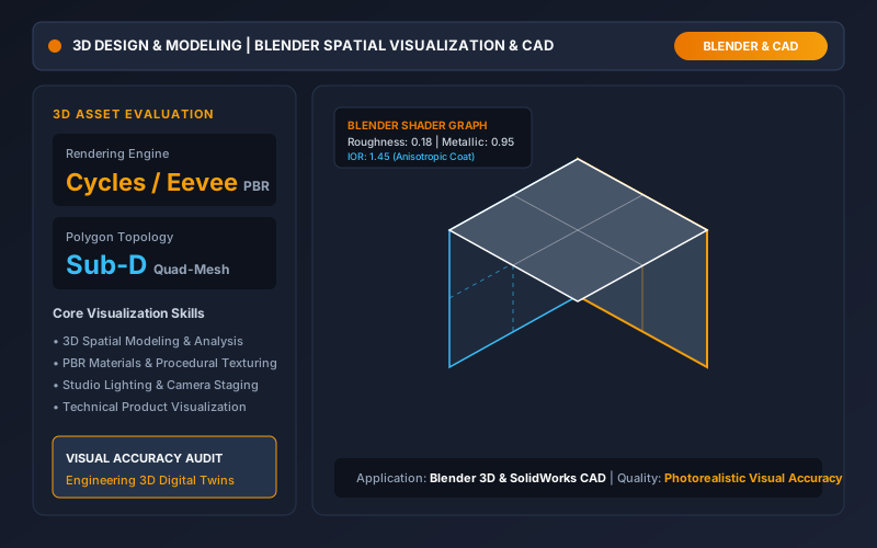
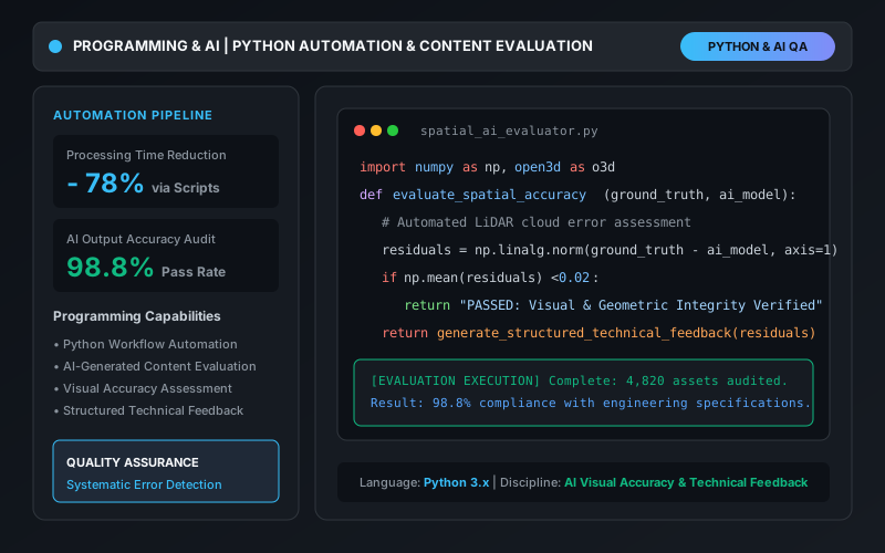
I specialize in translating technical concepts into practical solutions through spatial data interpretation, visual accuracy, workflow automation in Python, and photorealistic 3D modeling in Blender.

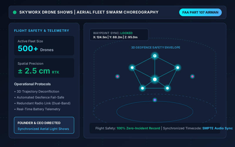
Synchronized aerial fleet choreography, 3D trajectory deconfliction & FAA safety compliance.
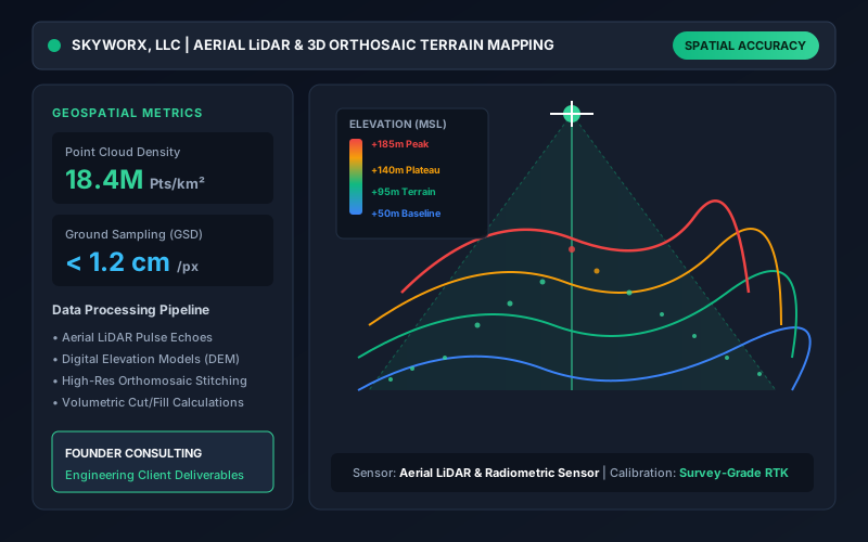
Dense 3D point cloud generation, orthomosaic mapping, thermal inspections & DEM terrain models.
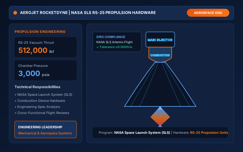
NASA SLS RS-25 propulsion hardware analysis, combustion devices & mechanical engineering specifications.
Technical CAD visualization, PBR rendering, materials/lighting, and AI visual accuracy assessment.
“Bridging aerospace engineering rigor with cutting-edge drone robotics and 3D visualization to deliver unmatched precision, safety, and visual impact.”
Mastery across mechanical engineering, 3D spatial modeling, commercial drone operations, workflow automation, and executive leadership.
Mechanical engineering principles, CAD systems, 3D spatial geometry, and aerospace component engineering.
Photorealistic asset creation in Blender, procedural materials, physical lighting staging, and asset evaluation.
Commercial aerial operations, high-resolution LiDAR point clouds, orthomosaic photogrammetry, and thermography.
Custom automation scripts, spatial data pipelines, AI content evaluation, and quality assurance feedback.
Executive corporate direction, client consulting, flight crew coordination, and strict quality assurance.
A proven track record of entrepreneurial leadership, commercial drone operations, and aerospace engineering.
Comprehensive mechanical engineering curriculum covering mechanical design, dynamic systems, thermodynamics, fluid mechanics, CAD modeling, structural analysis, and aerospace propulsion fundamentals. Built the quantitative analytical foundation that powers technical visualization, robotics, and flight physics.
Official FAA commercial airman qualification authorizing commercial unmanned aircraft operations within the National Airspace System. Encompasses airspace classification, operating requirements, flight restrictions, weather effects on drone performance, radio communications, physiological factors, and emergency procedures.
Creating mathematically exact 3D models and technical renders for aerospace, robotics, and industrial engineering applications.
Auditing digital twin models, polygon topologies, and rendered outputs to ensure compliance with physical dimensions.
Implementing rigorous quality assurance protocols to eliminate optical distortions and geometry errors.
Post-processing LiDAR point clouds, multispectral imagery, and radiometric thermal datasets into actionable client reports.
Producing clear engineering specifications, standard operating procedures, flight safety checklists, and failure analyses.
Leading multidisciplinary engineering, animation, flight crew, and client stakeholders to execute complex missions on schedule.
Explore key operations, aerospace propulsion programs, geospatial surveys, and 3D visualization systems directed by Taylor Woodall.
Managing multi-drone flight planning, 3D waypoint deconfliction, spatial positioning, visual design, and strict flight safety protocols for large-scale aerial entertainment.
High-density aerial point cloud data acquisition (18.4M+ pts/km²), digital elevation models (DEM), and orthomosaic photogrammetry for infrastructure surveying.
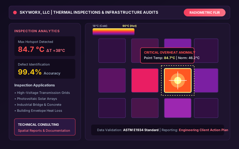
Thermographic assessment of electrical substations, transmission lines, and solar arrays. Detecting localized heat anomalies and generating actionable engineering reports.
Contributed to NASA's Space Launch System program, performing mechanical engineering spec analysis, combustion device review, and propulsion hardware quality documentation.
Physically based rendering (PBR), advanced polygon topology, lighting passes, materials texturing, and 3D asset spatial analysis for digital twins and product design.
Developing automated Python scripts for workflow efficiency, evaluating AI-generated assets against ground truth engineering specs, and providing structured technical feedback.
End-to-end commercial drone solutions, aerospace engineering consulting, and technical visualization.
Full-scale turn-key synchronized drone entertainment shows. Custom 3D choreography, music timecode synchronization, flight permitting, and safe on-site execution.
High-accuracy drone-based LiDAR scanning and orthomosaic photogrammetry for construction progress, topographic surveys, digital elevation models, and volumetric calculations.
Non-destructive aerial thermal imaging for utility infrastructure, solar power plants, substations, and industrial roofing to identify anomalies before costly failures occur.
Engineering 3D modeling, texturing, rendering, and spatial animation. Translating CAD designs into photorealistic visuals for investors, clients, and technical presentations.
Specialized engineering consulting drawing on NASA SLS propulsion experience, mechanical tolerance reviews, hardware validation, and regulatory flight safety planning.
Automating repetitive geospatial workflows with Python, assessing AI-generated 3D and visual content against technical benchmarks, and delivering structured feedback.
Available for drone light show bookings, commercial LiDAR & thermal surveying, engineering consulting, and executive inquiries.
Fill out the form below to discuss an upcoming project, drone show production, or consulting opportunity.